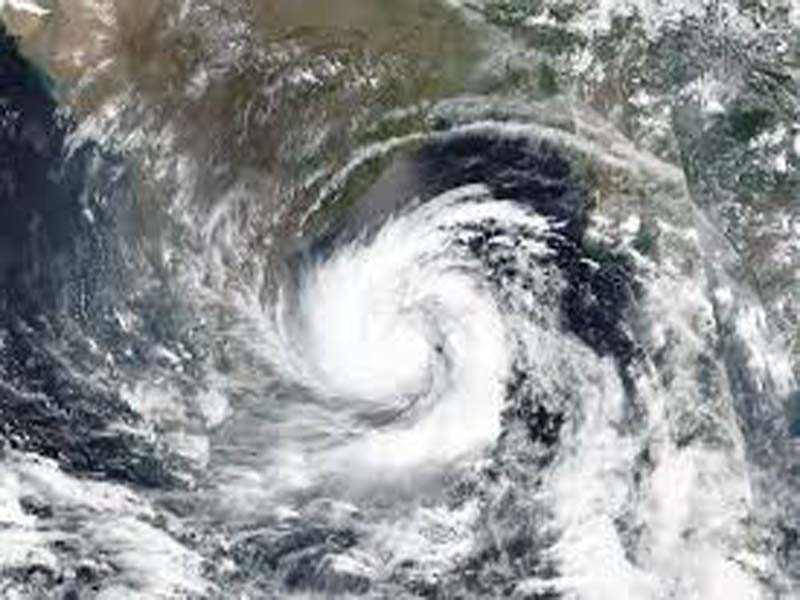
There is cyclonic circulation over Rayalaseema and the surrounding area: Met
AMARAVATI (ANDHRA PRADESH), AUG 19 : Sunday’s cyclonic circulation over North Interior Karnataka now lies over Rayalaseema & neighbourhood and extends upto 0.9 km above mean sea level, Meteorological Centre said on Monday.
In a daily weather report here, it said that the trough now runs from cyclonic circulation over Rayalaseema & neighbourhood to Comorin area across Tamil Nadu and extends upto 0.9 km above mean sea level.
The southwest monsoon has been normal over Coastal Andhra Pradesh & Yanam and weak over Rayalaseema.
Heavy rain is likely to occur at isolated places in North Coastal Andhra Pradesh & Yanam and Rayalaseema during the next 48 hours.
Thunderstorm accompanied with lightning and strong surface winds with speed ranging from 30-40 Kmph is likely to occur at isolated places in North Coastal Andhra Pradesh & Yanam and Rayalaseema during the next 48 hours.
Strong surface winds with speed ranging from 30-40 Kmph is likely to previl at isolated places in South Coastal Andhra Pradesh during the next five days and in Rayalaseema from August 21-23.
Light to moderate rain or thundershowers is likely to occur at a few places or at one or two places in North Coastal Andhra Pradesh & Yanam, South Coastal Andhra Pradesh and Rayalaseema during the next seven days.
Rain occurred at a few places in Coastal Andhra Pradesh & Yanam and at one or two places in Rayalaseema during the last 24 hours, the report added.(UNI)