India extends assistance to Madagascar in Rural and Agricultural development
Madagascar: India has extended valued assistance to Madagascar in Rural and Agriculture development by the deployment of its senior scientists in related sectors,
who completed their jobs successfully.
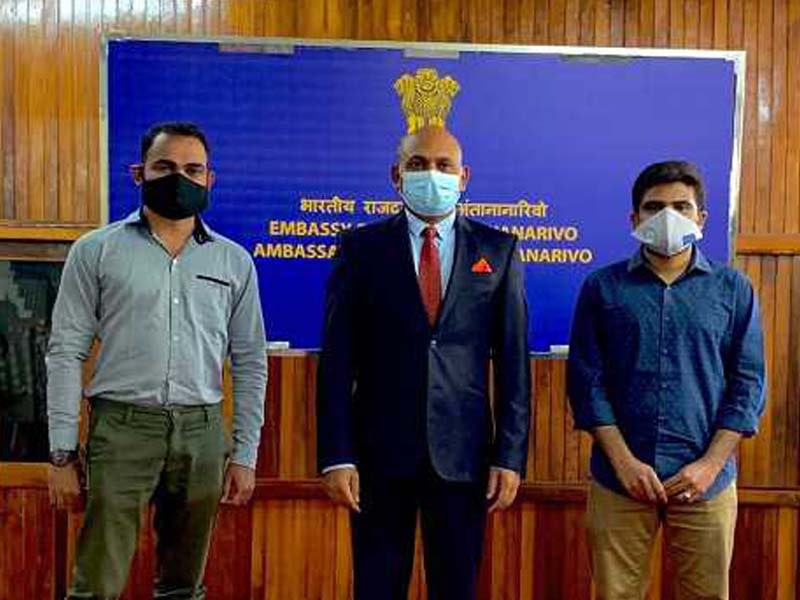
Two Indian scientists Kurapati Penchala Vineeth, Project Scientist (Image Processing & GPS) and Mr. Ashish Babu, Project Scientist (GIS), deployed in Madagascar by the Govt of India at the Centre for Geospatial Application for Rural Development (CGARD) have completed their assignment successfully.
The Centre was inaugurated by President Ramnath Kovind during his visit to Madagascar in March 2018 recognizing the need of the development of geospatial technology infrastructure for GIS, satellite remote sensing and global positioning based information capturing, training and capacity building, planning-implementation-monitoring and evaluation methodologies, application development in agriculture, forestry, fisheries, land records, surveying, resource development and disaster management, a CGARD was established in Madagascar under Ministry of Agriculture, Livestock and Fisheries of Madagascar with Indian grant assistance.
The Indian experts assisted in ascertaining National Land use and Land cover, Crop Acreage, Irrigated crop area, Yield estimation, Drought analysis, Land suitability for Maize farming, Deforestation, Wildlife habitat suitability mapping, Mineral exploration, Windfarm site suitability based on multi-criteria analysis, National Mangrove Mapping, Mapping of Coral reefs, Prediction of Potential Fishing Zones (PFZ’s), Variation of water turbidity seasonally, etc. for Madagascar. The Indian scientists also assisted other departments under the Ministery of Agriculture of Madagascar in areas such as assets mapping for Appui au Renforcement des Organisations Professionnelles et aux services Agricoles (AROPA), Développement des Filières Agricoles Inclusives (DEFIS), Projet d’Extension du Périmètre du Bas Mangoky (PEPBM) mapping the existing, extension of rice area and Mapping the extension and rehabilitation of rice plains which was part of the Presidential project. They also presented two papers on Flood Mapping and Damage Assessment, Studying the impact of mangrove increment on the accreted coastal area in 41st Asian Conference on Remote Sensing, 2020 and conducted training programs to the staff of the Ministry of Agriculture, Livestock and Fisheries of Madagascar on basics of Remote Sensing, GIS, and GPS. The CGARD will continue to function under the supervision of the Ministry of Agriculture of the Govt of Madagascar and will further contribute to Agricultural and Rural Development in Madagascar. (UNI)